


SENTIER DES FOURS À CHAUX

Trails to discover the commune of Erbray, depending on your mood and fitness level, between 3.1 km and 12.5 km.

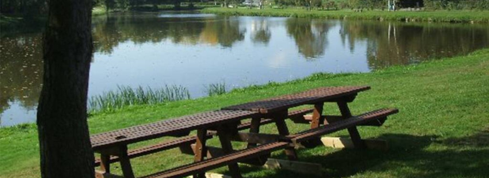
It's a great walk for all the family, crossing the Outre by a magnificent footbridge. Your olfactory senses will be awakened by this wooded and fragrant area, followed by a discovery of the Etang de la Mouette, and you'll make your way through the village, finishing on the Chemin des Vignes. For the more courageous, it's possible to link the Fours à Chaux trail (12.5 km) and the Joussaie trail (4.8 km) for a total of around 17 km.

Contact

Location icon

44110 ERBRAY
FRANCE

Practical information

Departure town

ERBRAY

Arrival town

ERBRAY

Distance

12.5 Km

Means of transport

Walking, difficulty level: Easy, duration: 3h

Colour of tag

jaune

Documents to be downloaded

Location

Other: On foot

Course d'orientation à Morannes
Location icon
Morannes Sur Sarthe-daumeray
Réservable en ligne
jessy thielleux
Orbière
CANOTIKA CANOE-KAYAK : LE DÉFI DU CAPITAINE
Location icon
Chateau-gontier-sur-mayenne
Réservable en ligne
© Evasion Ludique
Les marais de la Guittière
Location icon
Talmont-saint-hilaire
V.Joncheray
Juliette MARTIN
©PAH Coëvrons Mayenne
Mélanie Chaigneau
LE COLVERT (le vol du colvert)
Location icon
La Chapelle-des-marais
DR