


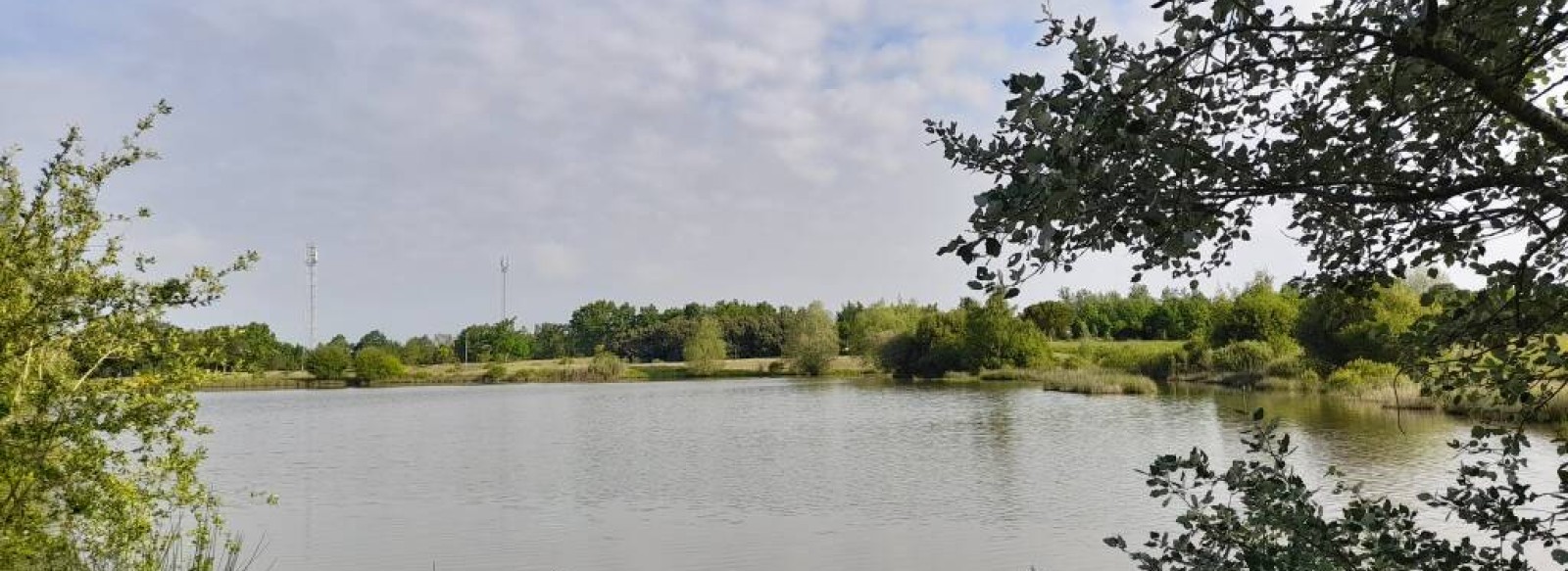
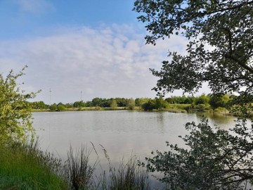
LES PLANS D'EAU

BODIES OF WATER

On the "Plans d'Eau à La Marne" trail, you'll discover the leisure area and its ponds, perfect for fishing and relaxing. The walk will take you through hedged farmland and fields to discover the surrounding area.


Starting point: Place de l'Eglise
1. From the church car park, take rue de la Charrie. Once you have passed under the D117, take the path on your left and follow the yellow signs.
2. At the end of the lake, turn left, then right through the 2 barriers. You will then pass a park for biquettes. At the end of the path, turn left and then right at the stop sign.
3. Follow the road along the path on the right (shared cycle and pedestrian path) as far as Le Pont. Then take the track on your right and continue straight on towards the fields.
4. Fork right for around a hundred metres, then left and right again to reach a road.
5. Follow the road for a few metres and then take the path on the left. At the end of this shady path, turn right until you reach an intersection. Turn right and then left at the stop sign.
6. At the roundabout, turn left into the village of La Marne. You will pass under the bridge and round a second roundabout. Be careful when crossing the road!
7. Carry straight on and you will pass through a housing estate before reaching an undergrowth, which you will have to take along a small path on your left.
8. Follow the yellow signs and go straight on towards the water treatment plant. Once you reach the junction with the river Le tenu, go up the right-hand side of the road.
9. Near the Parc de Loisirs des Chênes, go through the barrier and take the footpath on your right. Continue to the end of the path towards Place de l'Eglise.

Contact

Location icon

44270 LA MARNE
FRANCE
Contact

Practical information

Departure town

LA MARNE

Arrival town

LA MARNE

Distance

8.4 Km

Means of transport

Walking, difficulty level: Easy, duration: 2.5h

Colour of tag

JAUNE

Documents to be downloaded

Access map, location

Airport / aerodrome : 28 km
Sea side : 20.3 km
SNCF train station : 6.5 km
Road (national / local) : 0 km
Motorway : 45 km
Motorway : 25.5 km

Contact LES PLANS D'EAU

For further information, please contact the service provider directly by completing the form below

Further information to help you get around
CAPTCHA

The information you provide is for the exclusive use of the Pays de la Loire Region: we undertake not to pass it on to third parties.

Other: On foot

CANOTIKA CANOE-KAYAK : LE DÉFI DU CAPITAINE
Location icon
Chateau-gontier-sur-mayenne
Réservable en ligne
© Evasion Ludique
Orbière
Course d'orientation à Morannes
Location icon
Morannes Sur Sarthe-daumeray
Réservable en ligne
jessy thielleux
COMPA
OTAB (1)
Circuit Loyau
Location icon
Villeneuve-en-retz
Marie LE GAL
CIRCUIT RANDOCROQUIS
Location icon
Divatte-sur-loire
©Peggy GASTINEAU
OPTFV