
Return to the list
CIRCUIT LE COUDRAY A VILLIERS-CHARLEMAGNE

Address :
53170 VILLIERS-CHARLEMAGNE
FRANCE
53170 VILLIERS-CHARLEMAGNE
FRANCE
Contact: CIRCUIT LE COUDRAY A VILLIERS-CHARLEMAGNE
For further information, please contact the service provider directly by completing the form below
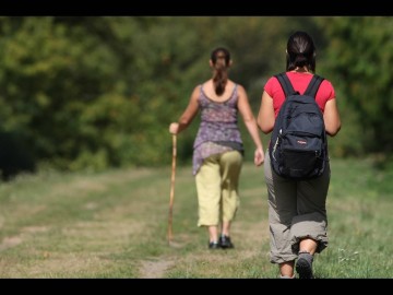
Presentation of: CIRCUIT LE COUDRAY A VILLIERS-CHARLEMAGNE
Type of routes/Nature of route
Mountain bike circuit##Promenade et Randonnée (PR) footpath
Departure town
VILLIERS-CHARLEMAGNE
Arrival town
VILLIERS-CHARLEMAGNE
Distance
13,47 Km
Means of transport
Walking, difficulty level: Average, duration: 4h5min
Equestrian, difficulty level: Easy, duration: 2h
MTB, difficulty level: Easy, duration: 1h30min
Ascent
en montée 73m
en descente 81m
Colour of tag
Jaune
Type of road surfacing
65% on dirt road
Documents to be downloaded


